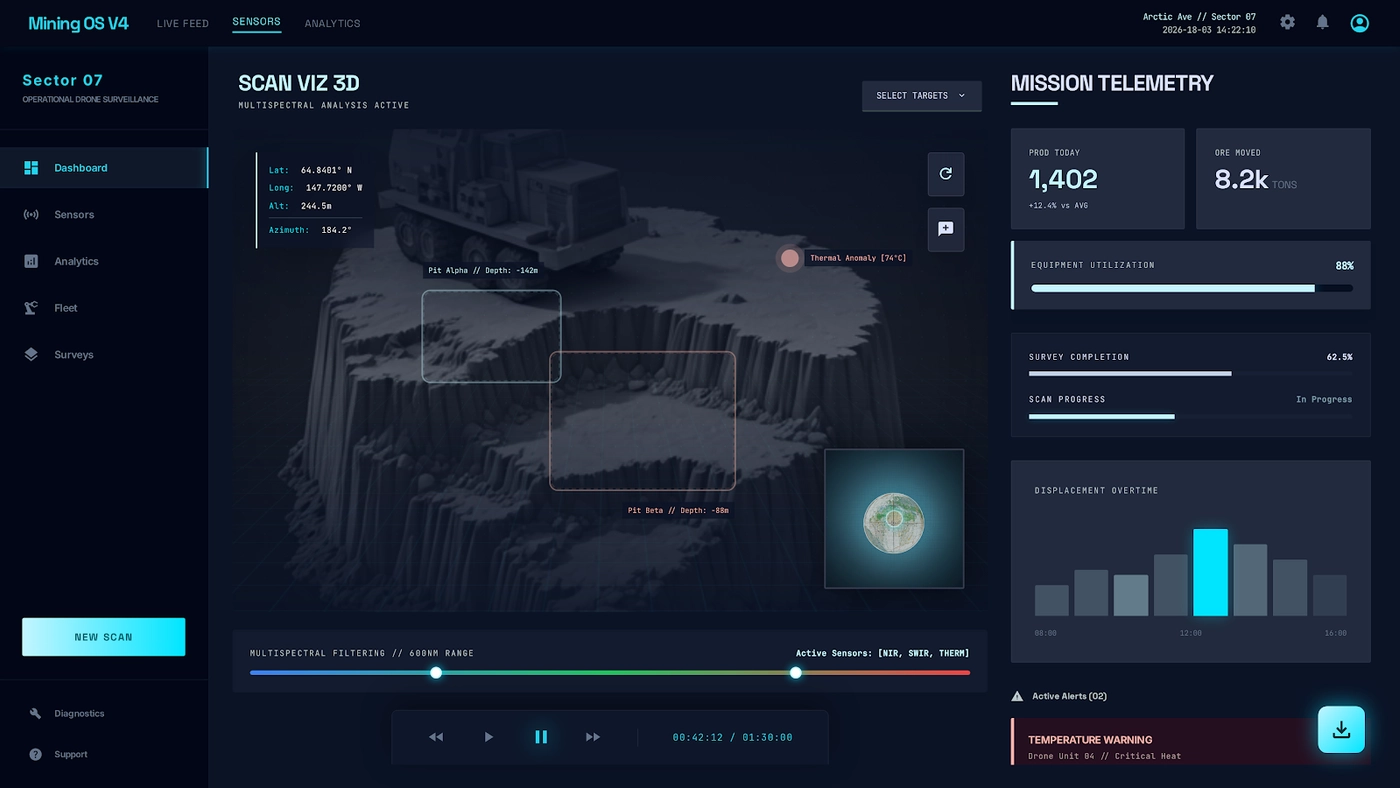
Live mission state, detections, and asset visibility in one control surface.
.svg)
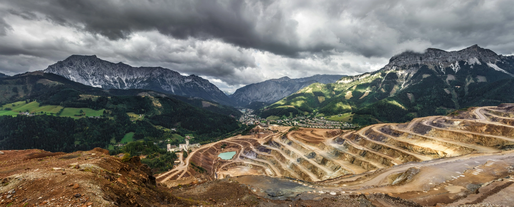
Aerial surveys built for mine sites
Fewer rope-access gambles and truck rolls. SENTINEL-01 flies the patterns you define and drops structured product reports in your portal. You keep working the ore; we handle the flights.
Repeatable passes catch cracks, seeps, and slope movement early. Detections land in the portal with frames your engineers can sign off on.
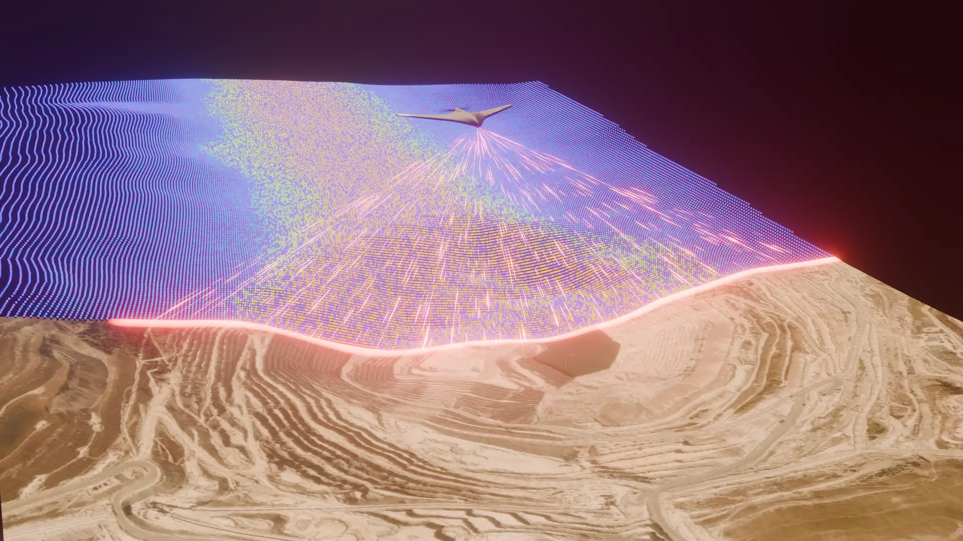
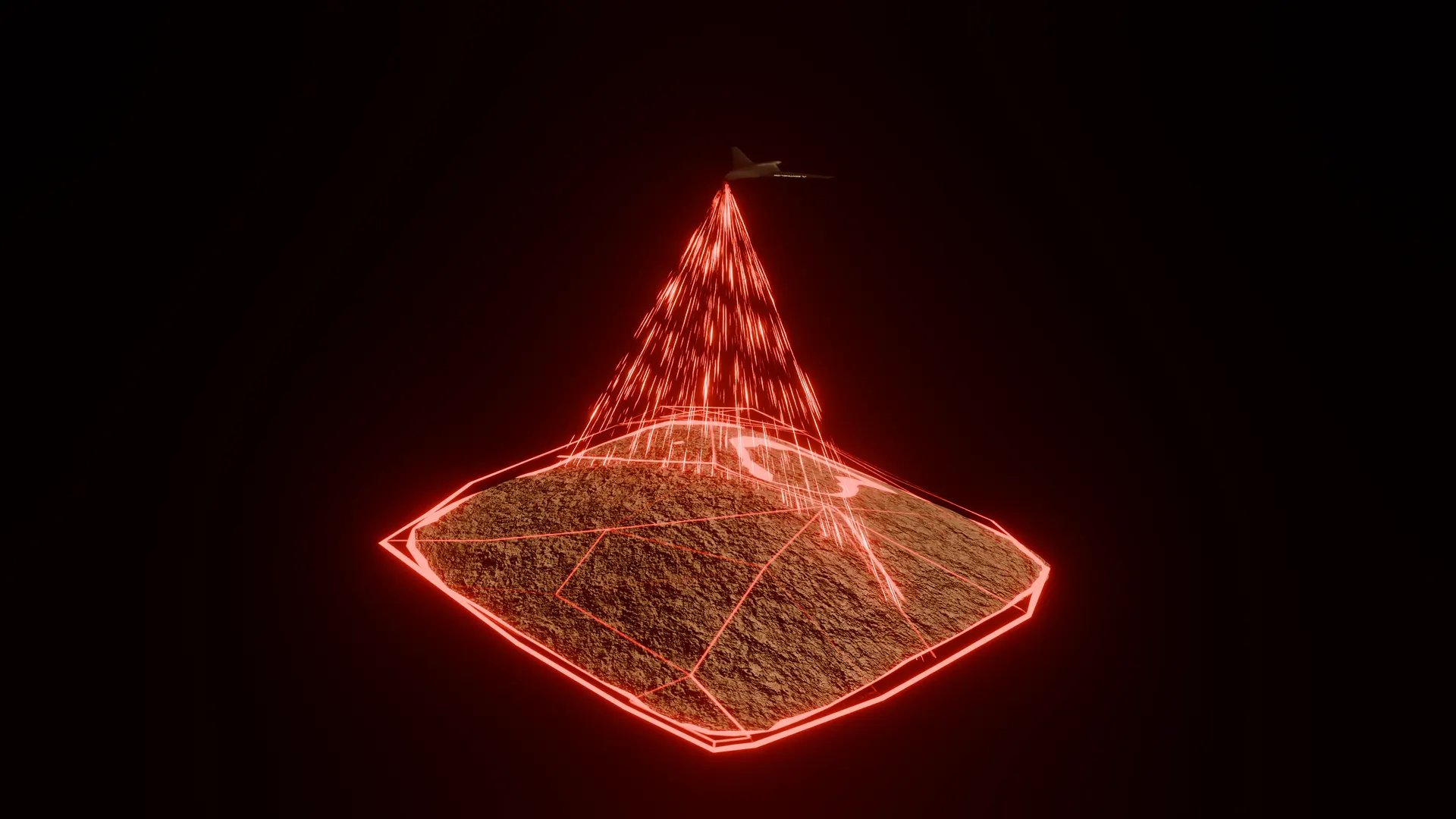
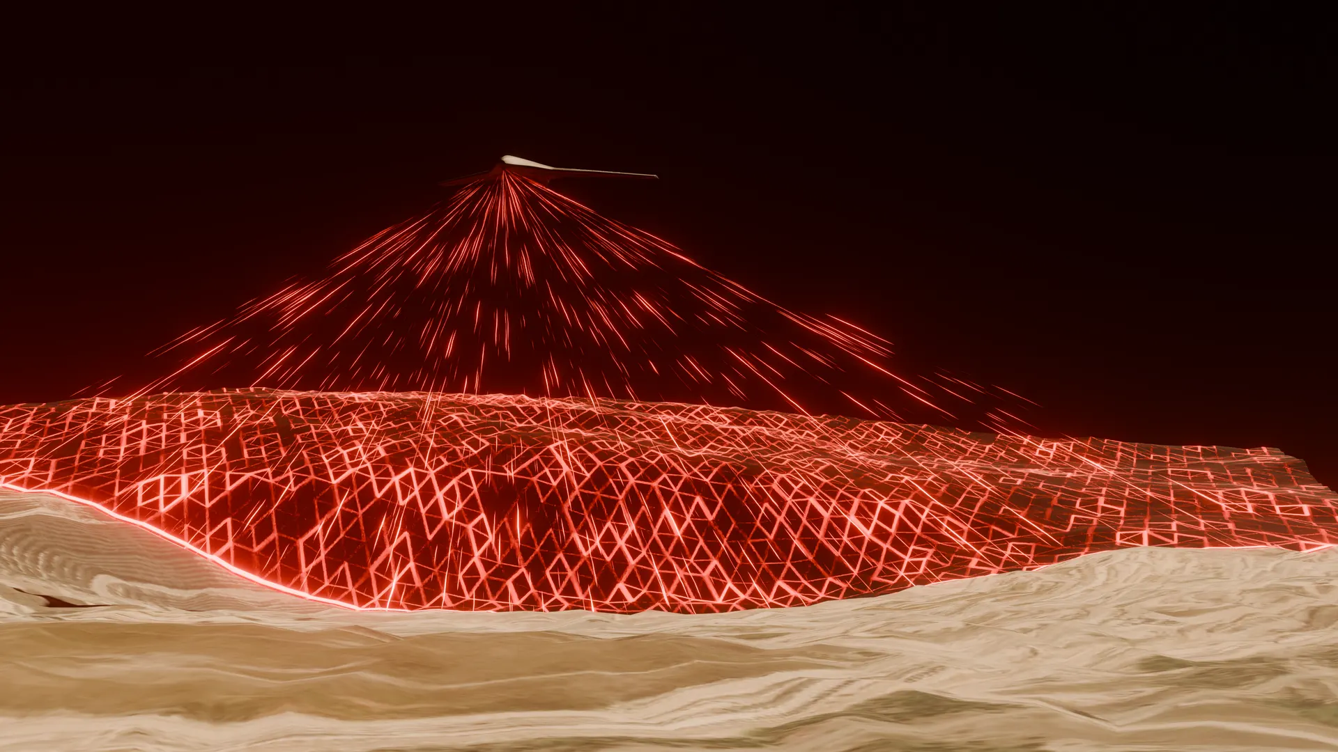
LiDAR meshes give tonnage and cut-fill without walking the pile. The same flight-line scan next month shows what moved.
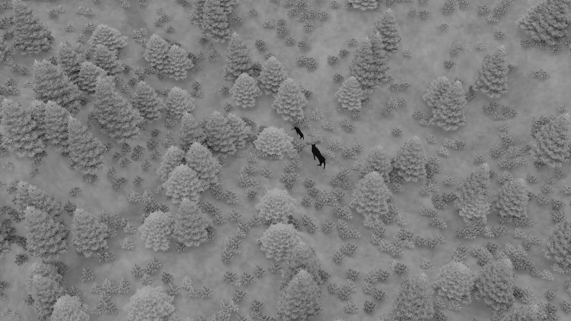
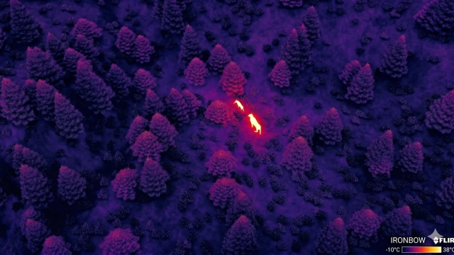
Thermal plus RGB runs build a dated record around the lease. Models flag wildlife in frame so environmental teams get annotated packets, not raw folders.
Live mission state, detections, and asset visibility in one control surface.
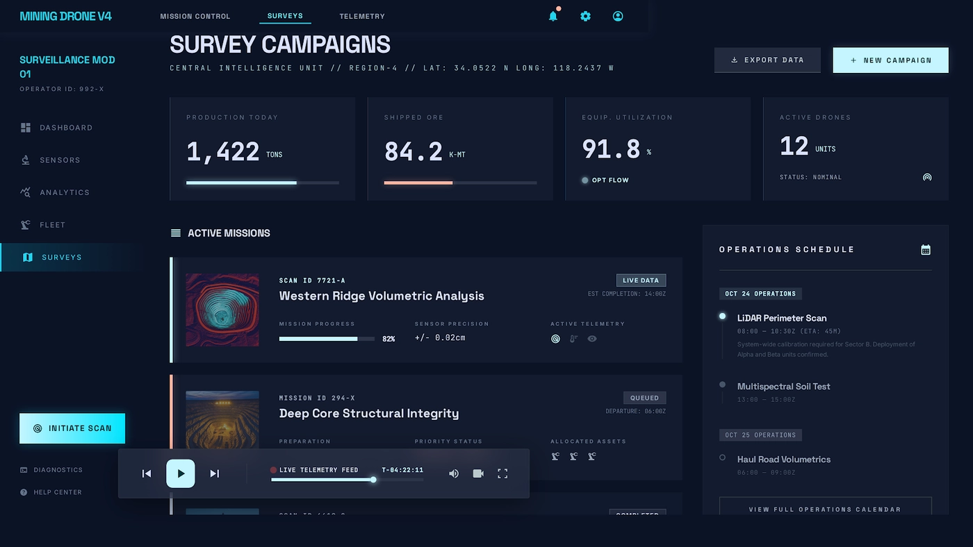
Route planning and campaign setup for repeatable mine surveys.
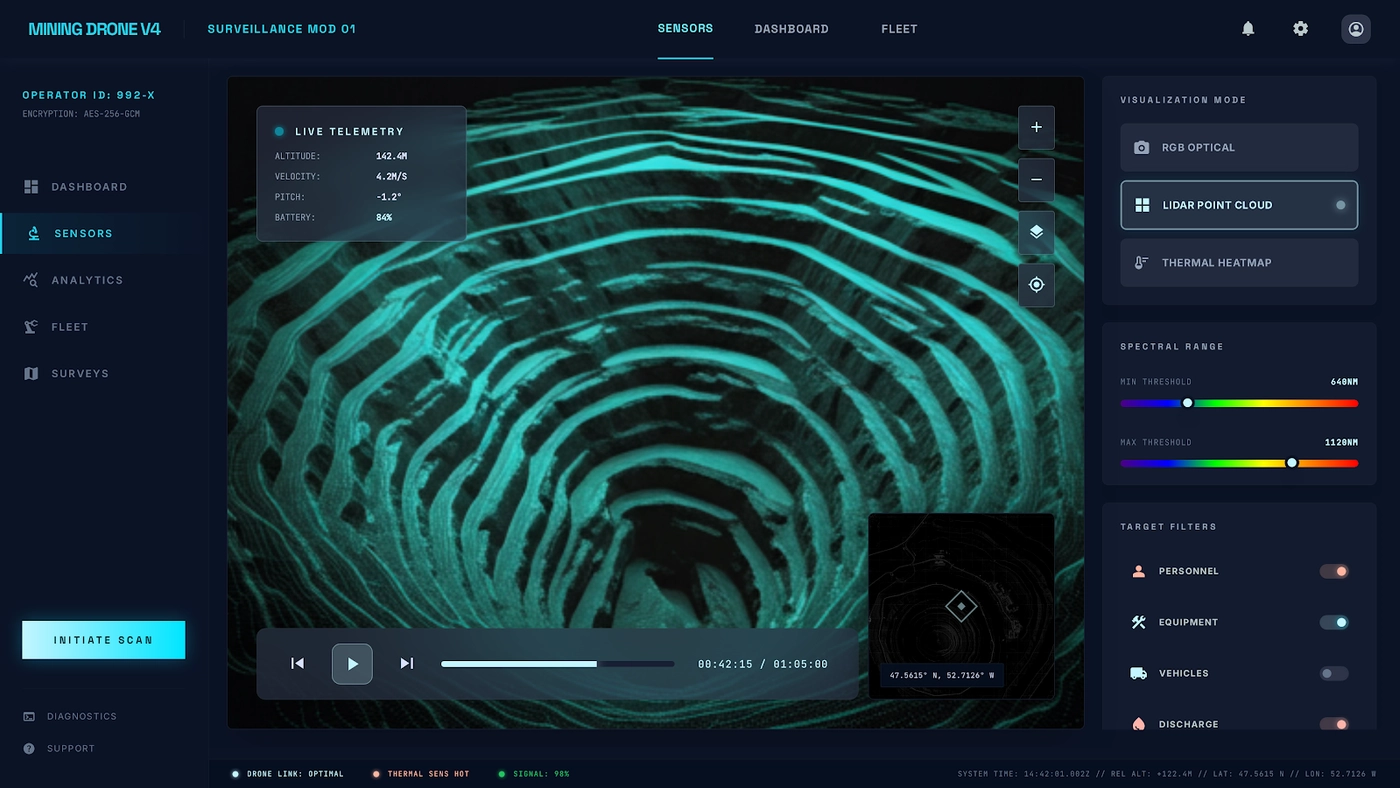
Sensor-state tuning and payload management before launch.

Send the site name and the first question you need answered from the air. We reply with a pilot outline, not a generic brochure.